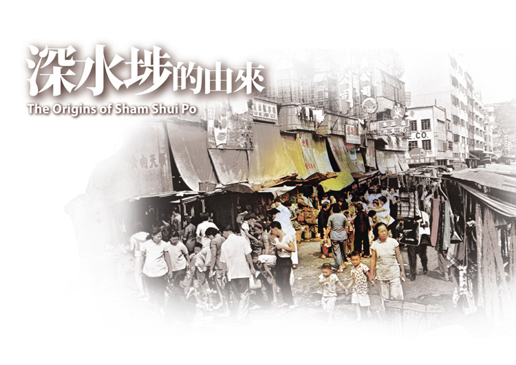
Sham Shui Po
Sham Shui Po is situated in northwest Kowloon. In its north there are hill ranges consisting of Piper’s Hill, Beacon
Hill, and reaching as far as the Lion Rock Country Park, while in the south it is bordered by Boundary Street.
The eastern edge is the East Rail Line tracks, and finally the west reaches the coast and covers the new reclamation
area of West Kowloon. There is a total area of 945 hectares and a population of 350,000 (2003 statistics).
Sham Shui Po was one of the earliest districts in Hong Kong to be developed. Significant events such as the
Shek Kip Mei fire disaster, the big licence stalls, the booming of light industries and more recently of electronics
retail, had left their unique birth-marks. Every road, every person, every building, has its own touching story.
Little Sham Shui Po is a little city which holds considerable history.
Sham Shui Po was a cape (a protruding piece of land towards the sea), and had been inhabited a long time ago, as shown
from the archaeological find, the Li Cheng Uk Tomb, built in the Eastern Han Dynasty (25 – 220 A.D.).
Sham Shui Po, in its etymology, the character “Po” was variously written as Po, Pou, Bo, Fou, in different ideographic forms:
Po (埔) - Po, as used in “Tai Po”, refers to a flat piece of land, and is a character used often in names of places.
Pou (莆) - Pou, as used in “Pou Cho”, is the name for a plant found in shallow waters, i.e. rushes.
Po (埗) - Po, the present official written character for “Sham Shui Po”, was synonymous with “Fou” in the past,
which means a pier.
From this we see that Sham Shui Po used to be a deep-water pier, with busy traffic.
Sham Shui Po was originally an alluvial plain; rain water from the Shek Kip Mei hills flow into the sea at this point to form
a “chung”, i.e. a river mouth where during ebb tide water flows into the sea, but during high tide ocean water flows back
into the inlet. The chung provided water for the farm lands around it. This river later became the Nam Cheong Street
nullah, and in the 1970’s the nullah was covered and turned into a lengthy recreational park.
With large-scale reclamation, what used to be the coast line is now considerably in-land. Sham Shui Po’s unique topography
as a cape has been lost in the human built-up city on top of it.


